
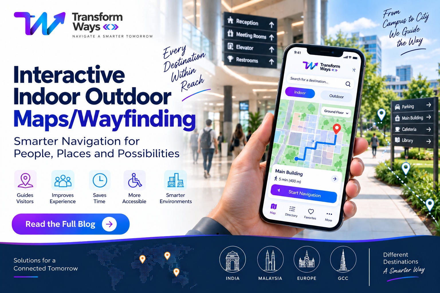
Interactive Indoor Outdoor Maps & Wayfinding: Making Every Journey Easier
Finding a destination should be simple. Yet, navigating a large hospital, shopping mall, university campus, airport, business park or mixed-use development can quickly become confusing.
Visitors may know the building they need to reach but still struggle to find the right entrance, floor, department, parking area, elevator or corridor. Traditional signboards can help, but they cannot always provide the personalised, step-by-step guidance people expect from digital experiences.
This is where interactive indoor outdoor maps/wayfinding can make a real difference.
By combining interactive maps, searchable locations, digital directories and route guidance, organisations can create a connected navigation experience that helps people move confidently from where they are to where they need to go.
For businesses and facilities across India, Malaysia, Europe and the GCC, digital wayfinding is becoming an important part of creating more accessible, efficient and visitor-friendly environments.
What Is Interactive Indoor Outdoor Maps/Wayfinding?
Interactive indoor outdoor maps/wayfinding refers to digital mapping technology that helps users find and navigate destinations both inside and outside a facility or complex.
Unlike a static map, an interactive map allows users to engage with their surroundings. They can search for a destination, explore points of interest, select a location and receive directions.
For example, a visitor arriving at a large hospital could search for “Cardiology,” select the department and receive directions from the parking area to the correct entrance, building, floor and room.
Similarly, a visitor at a university campus could find a particular faculty building, navigate from the campus entrance and continue indoors to the correct department.
Modern wayfinding can therefore connect the entire journey rather than treating indoor and outdoor navigation as separate experiences.
Why Do Businesses Need Digital Wayfinding?
Large facilities are becoming increasingly complex.
A shopping mall may have hundreds of stores across multiple floors. A hospital may contain departments, laboratories, pharmacies and consultation rooms. A university campus may spread across several buildings and outdoor pathways.
When visitors cannot find their destination easily, the experience suffers.
They may:
- Ask staff for directions repeatedly
- Spend additional time searching for destinations
- Miss appointments or meetings
- Become frustrated inside unfamiliar environments
- Avoid exploring other areas of a property
- Struggle to find accessible routes
- Have difficulty moving between buildings or floors
An effective indoor and outdoor wayfinding system can reduce this friction by putting useful navigation information directly in front of the visitor.
The goal is not simply to display a map. It is to answer a much more practical question:
“How do I get from here to there?”
Indoor Wayfinding: Navigation Beyond the Entrance
Indoor environments are often more difficult to navigate than outdoor spaces.
GPS-based navigation works well in many outdoor environments, but inside buildings, users may need much more detailed information.
An indoor wayfinding solution can provide:
- Floor-by-floor interactive maps
- Room and department locations
- Points of interest
- Elevator and escalator locations
- Reception and service counters
- Restrooms and facilities
- Accessible routes
- Searchable digital directories
- Multi-floor routing
- Step-by-step directions
For example, a patient visiting a hospital may not simply need to know where the hospital is. They need to know which entrance to use, where to park, which building to enter, which floor to visit and where the department is located.
Interactive indoor maps can connect these individual steps into one digital journey.
Outdoor Wayfinding: Connecting Buildings, Entrances and Parking
Outdoor navigation becomes especially valuable when a destination includes multiple buildings, roads, parking zones or large open areas.
Consider a technology campus with several buildings. A visitor may enter through the main gate but need to reach Building C, Visitor Parking B and then Reception.
An outdoor wayfinding system can connect these locations and provide a clear route.
Outdoor mapping can include:
- Roads and pathways
- Parking areas
- Building entrances
- Multiple buildings
- Visitor centres
- Transport points
- Outdoor facilities
- Walking routes
- Vehicle routes
- Campus destinations
The result is a smoother transition between arrival and destination.
The Power of Connecting Indoor and Outdoor Navigation
The real value of digital wayfinding comes when indoor and outdoor environments work together.
Imagine a visitor travelling through a large mixed-use development.
Their journey could look like this:
Parking → Building Entrance → Lobby → Elevator → Floor → Department → Destination
Instead of using different maps or asking different people for directions, the visitor can follow one connected navigation experience.
This is particularly useful for:
Hospitals
Patients and visitors can locate departments, clinics, pharmacies, laboratories, parking areas and accessible entrances.
Shopping Malls
Customers can find stores, restaurants, facilities, parking zones and specific floors.
Airports and Transportation Hubs
Passengers can navigate terminals, gates, parking, check-in areas and other facilities.
Universities and Campuses
Students, staff and visitors can locate faculties, lecture halls, offices, libraries and other campus facilities.
Corporate Campuses
Employees and visitors can navigate buildings, meeting rooms, reception areas and shared facilities.
Hotels and Resorts
Guests can find rooms, restaurants, meeting spaces, recreational facilities and other amenities.
Interactive Wayfinding for India, Malaysia, Europe and GCC
Navigation requirements can differ depending on geography, language, architecture, accessibility needs and visitor expectations.
For organisations operating across India, Malaysia, Europe and the GCC, a flexible digital wayfinding approach can support different environments without compromising the user experience.
India
Large hospitals, IT campuses, universities, shopping centres, airports and commercial developments can benefit from interactive navigation, particularly where visitors need to move between multiple buildings or floors.
Malaysia
Shopping malls, healthcare facilities, universities, transportation hubs and large commercial properties can use digital wayfinding to simplify navigation for both local and international visitors.
Europe
Complex public spaces, healthcare facilities, transport hubs, campuses and commercial developments can benefit from accessible, multilingual and structured navigation experiences.
GCC
The GCC has many large-scale developments, airports, hospitals, malls, business districts and mixed-use destinations where visitors may need to navigate extensive indoor and outdoor environments.
For international visitors, clear digital navigation can also reduce the difficulty of navigating unfamiliar buildings and large destinations.
What Makes an Effective Wayfinding Solution?
Not every digital map automatically creates a good navigation experience.
A successful interactive indoor outdoor maps/wayfinding solution should focus on the user’s actual journey.
Important capabilities can include:
1. Interactive Maps
Users should be able to zoom, explore and understand the environment visually.
2. Searchable Destinations
Visitors should be able to search for a store, department, room, facility or point of interest instead of manually scanning the map.
3. Multi-Floor Navigation
For multi-storey buildings, navigation should clearly communicate floor changes and transitions.
4. Clear Routing
Directions should be simple enough for visitors to understand without technical knowledge.
5. Accessibility
Where appropriate, routes can consider elevators, ramps and other accessibility requirements.
6. Multiple Access Points
Wayfinding can be delivered through websites, mobile devices, QR codes, kiosks and other digital touchpoints depending on the environment.
7. Easy Content Management
Businesses need to keep destinations, stores, departments and facilities updated as the physical environment changes.
Why Choose TransformWays for Digital Wayfinding?
At TransformWays, the focus is on making complex spaces easier to understand and navigate through digital experiences.
Rather than treating a map as just a visual layer, the objective is to create a navigation journey that connects people with the destinations they need.
For organisations in India and international markets including Malaysia, Europe and the GCC, the right wayfinding strategy can help create a more connected visitor experience across buildings, campuses and large-scale facilities.
Whether the requirement involves interactive indoor maps, outdoor navigation, multi-floor wayfinding, digital directories or connected navigation experiences, the solution should ultimately make one thing easier:
Helping people get where they need to go with less confusion.
The Future of Interactive Wayfinding
Digital navigation is moving beyond simple location markers.
As facilities become smarter and visitor expectations continue to evolve, wayfinding can become part of a broader digital experience.
Interactive maps can potentially connect with digital directories, websites, kiosks, QR experiences, mobile platforms and other systems.
This creates an environment where visitors can discover a destination, plan a route and navigate their journey through one connected experience.
For large facilities, this is more than a technology upgrade. It is an opportunity to improve the way people experience physical spaces.
Make Every Destination Easier to Find
A large building or campus should not feel complicated simply because it is large.
With the right interactive indoor outdoor maps/wayfinding solution, visitors can move from parking to entrance, entrance to building, building to floor and floor to destination with greater confidence.
Whether you are managing a hospital in India, a shopping mall in Malaysia, a university campus in Europe or a large development in the GCC, digital wayfinding can help transform a complex physical environment into a clearer and more connected experience.
TransformWays can help you explore how interactive indoor and outdoor wayfinding can work for your organisation.
Ready to make your space easier to navigate? Contact TransformWays today to discuss your digital wayfinding requirements and create a smarter navigation experience for your visitors.
Frequently Asked Questions
What is interactive indoor outdoor wayfinding?
Interactive indoor outdoor wayfinding is a digital navigation solution that helps users find destinations across both indoor and outdoor environments. It can include interactive maps, searchable locations, routing, floor navigation and digital directories.
How is indoor wayfinding different from outdoor navigation?
Outdoor navigation generally helps users move between buildings, entrances, parking areas and outdoor destinations. Indoor wayfinding focuses on navigating inside buildings, including rooms, departments, floors, corridors and facilities. A connected solution can combine both experiences.
Where can interactive wayfinding be used?
Interactive wayfinding can be used in hospitals, airports, shopping malls, universities, corporate campuses, hotels, business parks, government facilities, exhibition venues and other large or complex environments.
Can interactive maps support multi-floor buildings?
Yes. Digital indoor maps can be designed to represent multiple floors and help users understand where destinations are located across different levels.
Is digital wayfinding useful for large campuses?
Yes. Large campuses can benefit significantly because visitors often need to navigate multiple buildings, roads, parking areas and entrances. A connected wayfinding experience can bring these destinations together in one system.
Can wayfinding solutions be used across different countries?
Yes. The underlying approach can be adapted to different locations, languages, building types and visitor requirements. This makes digital wayfinding suitable for organisations operating across markets such as India, Malaysia, Europe and the GCC.
Why should businesses invest in interactive wayfinding?
The primary benefit is a better visitor journey. When people can find destinations more easily, organisations can reduce navigation-related frustration, improve accessibility and create a more modern digital experience.
How can TransformWays help?
TransformWays can help organisations plan and develop digital navigation experiences for complex indoor and outdoor environments. The appropriate solution depends on the property’s layout, visitor journey, technology requirements and business objectives.